Thank you. Here's your checklist.

Learn more about how laser scanning reality capture can drive safety, efficiency and agility for your plant:
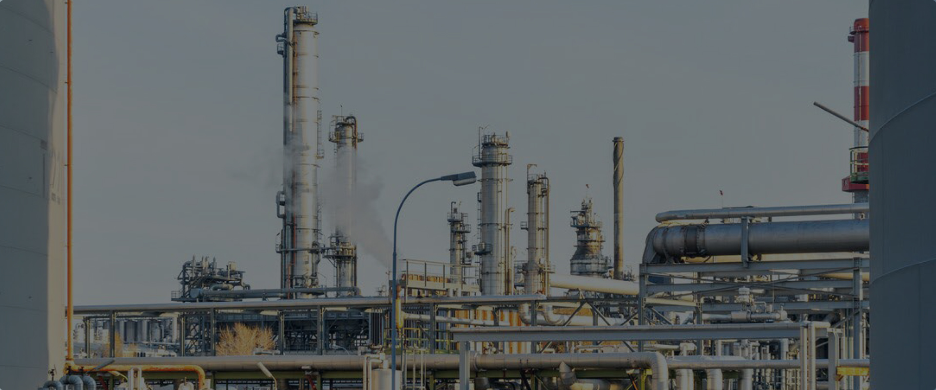
Laser Scanning Shortens Timeline on Automotive Plant Expansion
Accurate reality capture helps Darling Geomatics streamline as-built and construction verification for a 1.5-million-sq-ft Mercedes-Benz facility expansion.
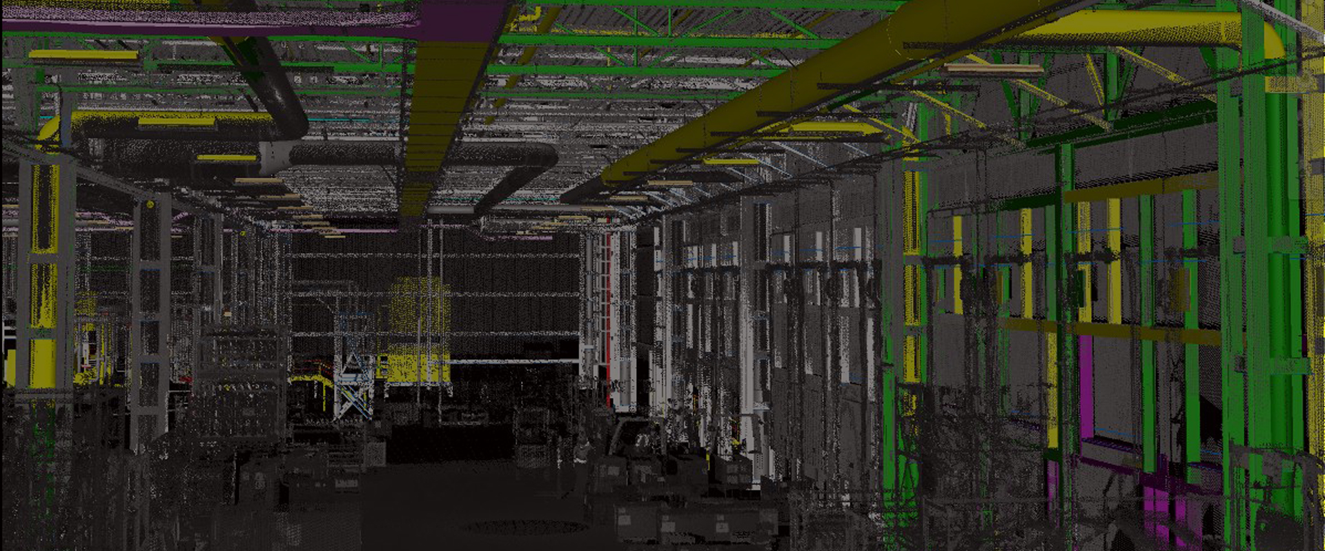
A True Digital Twin
Watch the video to see how 3D laser scanning makes accurate digital plant documentation fast, simple and safe.
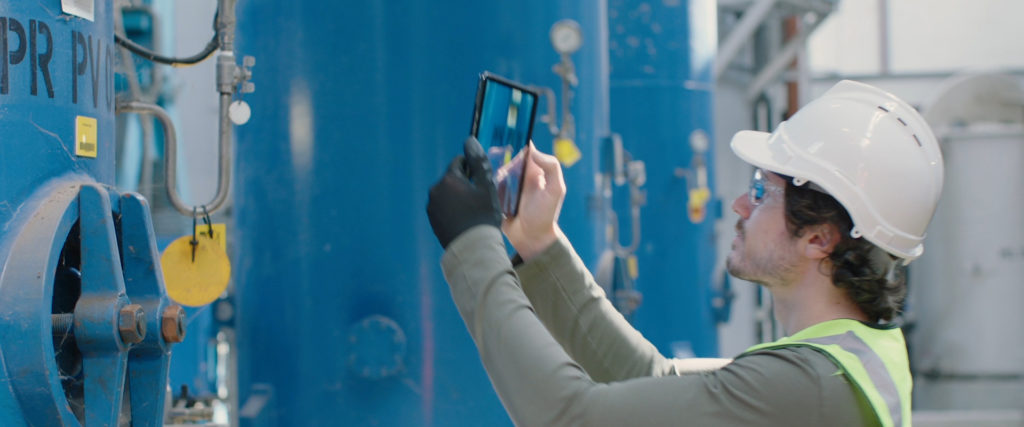
How to Access and Manage Your Plant Remotely, Anytime, Anywhere
Get instant access to every detail of your plant with digital remote management. Combining Leica Geosystems industry-standard 3D laser scanning solutions with software and cloud-based sharing tools gives you unprecedented control over your facilities from any location so you can maximize safety, efficiency and agility.