"When you take an oil refinery or power plant down, that could be a million dollars a day. It’s critical that when you have things fabricated, they must fit–otherwise they cost you extra time. The idea things will fit becomes paramount." —Frank Latz, Retired President & Chief Technology Evangelist, Control Point Design
For manufacturers that are ready to look at bringing all their laser scanning activities in-house, including the survey control work, it’s all about another step toward greater efficiency.
Even when handled by outside providers, laser scanning and survey control offer a superb gain in productivity over manual survey methods. Bringing those capabilities in-house offers another set of gains.
Additional Benefits from In-House Survey Control
According to Frank Latz, retired president of Control Point Design, a Minnesota-based industrial plant design firm with 3D scanning and surveying expertise, the additional benefits are at least threefold.
First, you realize large cost savings over what you’re paying for external survey services, especially if you have routine needs for surveys and scanning.
Second, you gain a tremendous advantage in the convenience of scheduling your survey work. You’re no longer at the mercy of an outside company’s schedule.
And third, you avoid costly errors. When it comes to surveys and scans, you know exactly what you want done. With in-house resources, you’re much more likely to get precisely that, while you also avoid the potential for outside personnel who are much less knowledgeable about your operation to get things wrong.
Adding to the Savings of Laser Scanning
If you’re considering bringing this work in-house, it’s very likely you’ve already had outside service providers who have proven the tremendous advantages that laser scanning brings to an industrial operation. But for those who might be unaware, Latz has excellent examples.
Using laser scanning offers an enormous time savings over traditional manual measurement methods. And in manufacturing, time truly is money. “When you take an oil refinery or power plant down, that could be a million dollars a day,” said Latz. “It’s critical that when you have things fabricated, they must fit–otherwise they cost you extra time. The idea things will fit becomes paramount.”
The reason pieces fabricated based on traditional methods of measurement might not fit is because of the inherent imprecision of those methods. Yet despite very clear proof of the superiority of laser scanning over manual measurement, Latz still finds doubters.
“I had a guy say to me, ‘Well, you know, I’m kind of leery of using all this technology, so I went out there and took a tape measure up there and measured it, and it doesn’t quite match what you said from your laser scanning.’ And I said, ‘All right, you mean to tell me that I’ve got hundreds of thousands of dollars’ worth of equipment here, and years of expertise in running it, and you go out there with a ten-dollar tape measure and you’re going to challenge that?’”
When Latz asked to see how they measured things, he found that their centerline-to-centerline pipe measurement was based on eyeballing each pipe’s centerline. “That’s where imprecision comes in,” he says, “and where costly prefabrication mistakes occur—mistakes that laser scanning ensures you avoid.”
Survey Control Is Critical
In addition to eliminating imprecise manual measurement methods, it’s vital to exercise proper survey control–developing a plant network of designated points with known horizontal and vertical positions to provide specific “anchors” for all measurements.
Latz has a test he uses to show the accuracy of the points: “We’ve run survey control around in a loop… we started at one point, and we worked all around through several points around in a circle and came back to the first point, and that was our last point. Now by looking at the diversions of those two points, they should coincide exactly. I can say if I’ve gone 300 feet that way, 350 feet the other way, around in a circle and came back and landed on the same point, and I might be within about… an eighth of an inch. I can tell you with confidence that I control all the geometry around that perimeter with a maximum deviation of that much.”
Establishing those known points to measure from provides accurate context for future use of the point cloud. Meanwhile, having equipment with that level of precision in its measurements is vital for your design work, so that all your prefabricated pieces fit right the first time, with no rework and no interference with existing pipes, machinery, or structures.
Other Advantages
Latz points out that, because laser scanning with proper survey control gives a digital database of all the measurements, then it’s no work at all to download the data into programs like Navisworks (3D design review software) and CADWorx (construction design software), facilitating an easy transition into the design process.
The associated software also provides the ability to readily put together 3D presentations for “the powers that be,” as Latz puts it, as well as virtual flythroughs of the designed systems so operators can see what they look like and offer their input before construction.
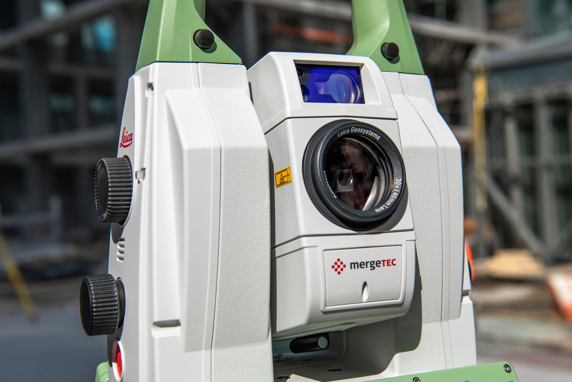
As for equipment recommendations, Latz likes the Leica MS60 MultiStation, a high-precision total station for survey control that also offers high-resolution long-range laser scanning capabilities. “It has all the bells and whistles,” he said. “It’s a dynamite machine.”
Today even the most basic total stations offer automation and guided workflows to help you get started, with the latest ones automating much of the process and making survey control accessible to even the novice operator.
If you’re ready to start, contact one of our industry plant solutions consultants to learn more.
About the Author:
 Greg Schneider is industrial plant solutions specialist for Leica Geosystems, part of Hexagon. Drawing from more than 40 years of experience as a surveyor and technology advocate, he has worked with oil companies, chemical processors and many other industrial and commercial manufacturers throughout the Northern US and Canada to help them improve safety, reduce labor and save millions of dollars on plant expansions, maintenance, retrofits and ongoing operational improvements with laser scanning reality capture. A dynamic problem-solver, Greg is known for his thorough explorations and partnership approach. He is a frequent speaker at industry events. Connect with Greg on LinkedIn >