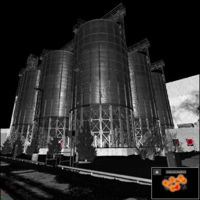
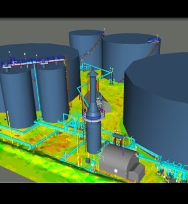
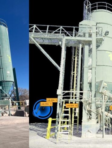
A proactive tank scanning strategy will help you ensure safety, avoid environmental impacts and prevent financial losses.
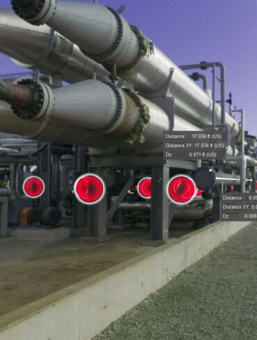
The ability to quickly and accurately measure industrial plants provides cost savings and safety benefits.
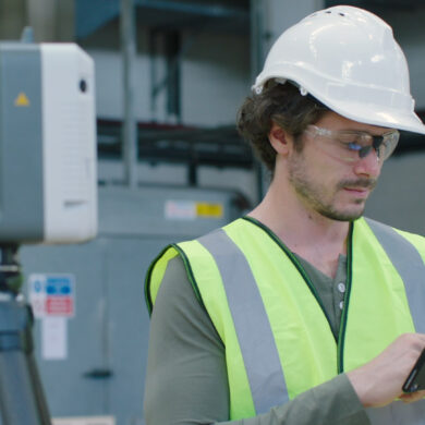
Think it costs too much to invest in laser scanning? Industrial plant solutions specialist Greg Schneider offers a different perspective.
A focus on quality and innovation drives decisions for this leading-edge laser scanning services firm.
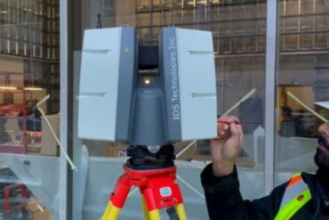
Travis Sachs of 3DS Technologies explains how tank monitoring with laser scanning provides significant cost and safety benefits.
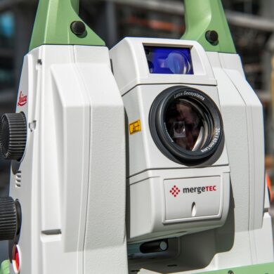
When precision and reliability are non-negotiable, technology matters. Travis Sachs, president and COO of 3DS Technologies, explains why the company relies on Leica Geosystems as a technology partner.
Industry veteran Frank Latz shares insights on accuracy, data use, and equipment recommendations.
Travis Sachs, president of laser scanning service provider 3DS Technologies, discusses the transformative power of laser scanning in industrial settings in this Tech Insider interview.
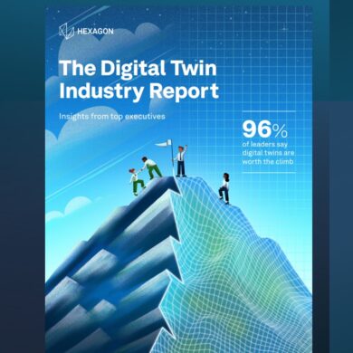
Most executives across industry sectors believe in the benefits of a digital twin, but the business value can be difficult to quantify. A new study reveals the true potential and how to harness it.
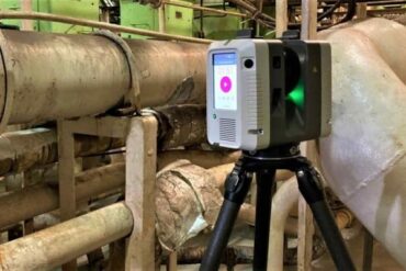
Providing the best accuracy, quality, and service in 3D plant documentation requires the best technology. These key criteria reveal a clear winner.
