"With survey control, each new data set captured with laser scanning adds greater insight and intelligence to previous data sets, which increases the value of your reality capture initiative over time." —Greg Schneider, Leica Geosystems Industrial Plant Solutions Specialist
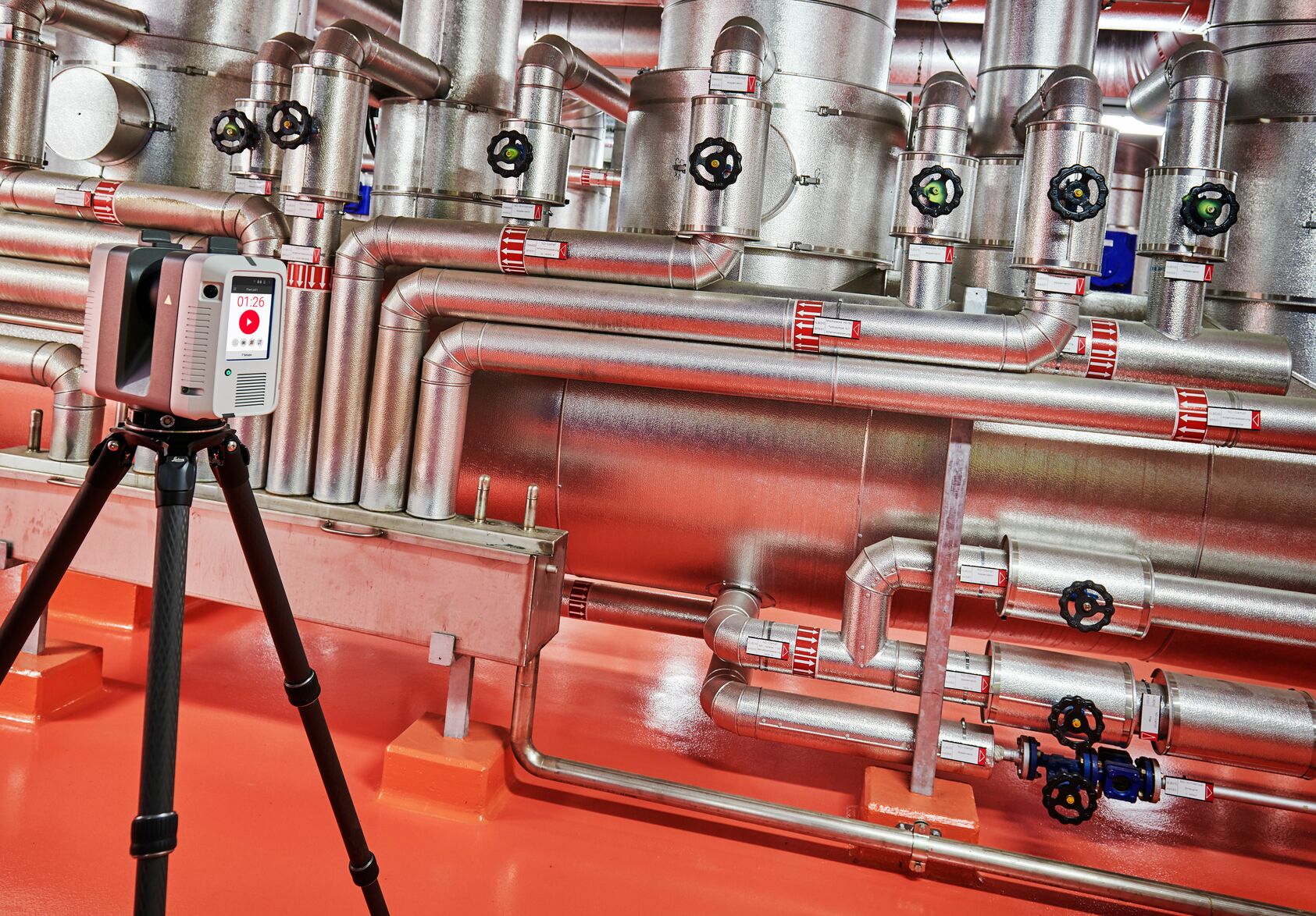
As a project manager or plant engineer, you already recognize the value of laser scanning your industrial facility to quickly and safely capture accurate as-built data for your plant expansions and retrofits. You might even have an in-house reality capture team working toward a comprehensive, always-current digital twin of your facilities to optimize productivity, agility, and sustainability.
But how are you ensuring the accuracy and reliability of that scan data in reference to everything else in the plant?
Regardless of your laser scanning technology or level of expertise, if you’re scanning without survey control, you risk data quality problems, increased cost, unnecessary downtime, and inefficiencies due to siloed data.
Increasingly, industrial facilities are recognizing the need for survey control in their reality capture projects and discovering just how easy it is to achieve.
Why Survey Control Matters
When you capture as-built documentation of your plant with laser scanning, each scan may be accurate on its own. However, the accuracy can be difficult to validate without survey control. Additionally, if the scans of different areas of the plant are handled separately, the project data sets will be disconnected. Even if there is enough overlap to connect one project to another through cloud-to-cloud registration, building a reliable, comprehensive digital twin from disconnected data sets is virtually impossible.
Survey control is an essential starting point for all measurements in your facility. Imagine survey control as the backbone of any as-built documentation work. Much like a backbone gives a body its shape and structure, survey control provides the framework or plant coordinate system that holds and aligns all as-built documentation activities within a plant, ensuring accuracy, consistency, and quality in the measurements.
An accurate plant coordinate system enables you to link multiple scans of a facility together and to connect laser scan point clouds captured yesterday with point clouds that will be captured tomorrow. It gives you confidence that the scan data accurately represents the infrastructure in the plant as you move from project to project and use the data for operations and maintenance requirements.
With survey control, each new data set captured with laser scanning adds greater insight and intelligence to previous data sets, which increases the value of your reality capture initiative over time. Survey control allows your digital twin to become the single source of truth for all activities in the plant, leading to significant gains in productivity, efficiency, and agility.
Learn more about the MS60 >
Do You Need to Hire a Surveyor?
In the past, the issue of survey control wasn’t much of a concern for plant personnel. As-built surveys to capture existing conditions within the plant—whether handled through manual methods, total stations or laser scanning—were mostly outsourced. But with the introduction of high-speed, easy-to-use laser scanners within the last decade, plants have increasingly brought laser scanning in-house to gain control over cost, scheduling, and data management.
With that move, survey control has gotten lost.
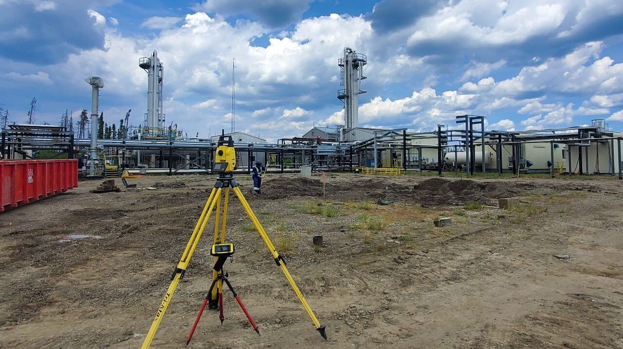
Fortunately, establishing an accurate plant coordinate system doesn’t require a licensed land surveyor. It simply involves setting up fixed, known points — often called control points or survey markers — within the plant or on the expansion site and measuring the points with a total station. Technology makes it easy.
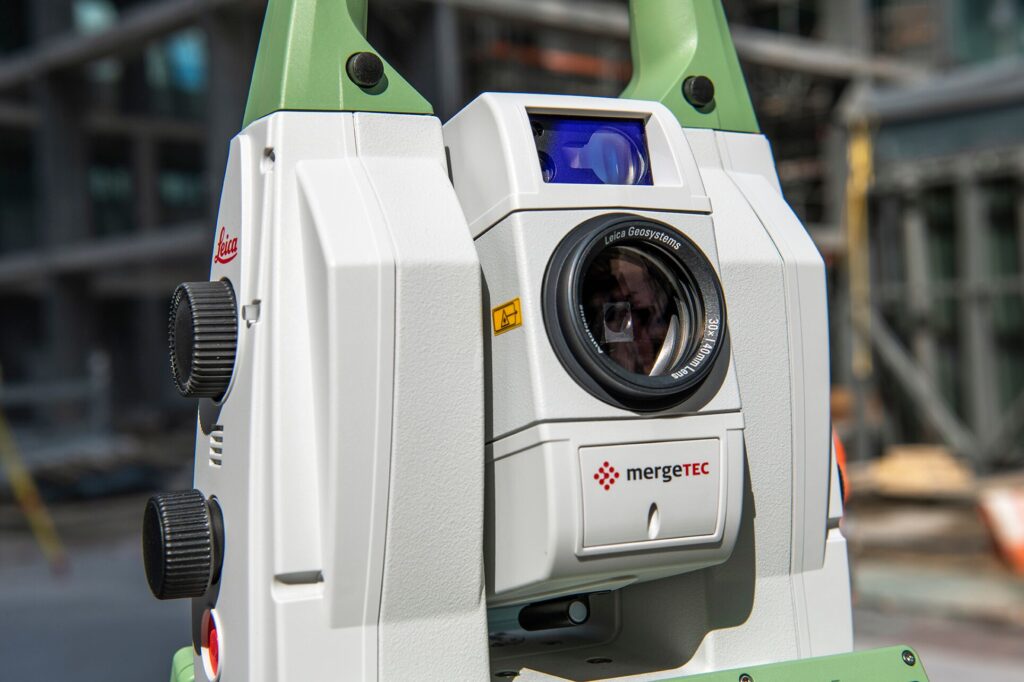
The latest robotic total stations automate much of the workflow, from adjusting to environmental conditions and locking on to the correct target, to measuring their own height and capturing digital images. Some of the most advanced robotic total stations even incorporate laser scanning capabilities for a streamlined all-in-one approach. But even basic robotic total stations offer automated capabilities and guided workflows that make it easy for novice operators to set control with confidence.
Adding survey control to your reality capture capabilities gives you complete control over your budget, schedule, data, and results. All it takes is a few simple steps to fully optimize your digital twin.
Are you ready to get started? Contact one of our industry plant solutions consultants to learn more.
About the Author:
 Greg Schneider is industrial plant solutions specialist for Leica Geosystems, part of Hexagon. Drawing from more than 30 years of experience as a surveyor and technology advocate, he has worked with oil companies, chemical processors and many other industrial and commercial manufacturers throughout the Northern US and Canada to help them improve safety, reduce labor and save millions of dollars on plant expansions, maintenance, retrofits and ongoing operational improvements with laser scanning reality capture. A dynamic problem-solver, Greg is known for his thorough explorations and partnership approach. He is a frequent speaker at industry events. Connect with Greg on LinkedIn >