Discrete
Growing and retooling your plant in order to stay productive and viable is the key to operating at peak efficiency. Understanding your plant's potential and weaknesses can make all the difference.
Challenges to consider

Shutdowns & Retrofits
Retrofiitting is part of the continous plant lifecycle, and being able to minimize shutdown time is of the essence.

Accuracy
The introduction or change of any new or existing equipment requires a clear understanding of a plant's existing circumstances, allowing stakeholders to make informed effective decisions - assuring continued production quality.

Safety
Without having proper documentation, the revisiting of the plant site in order to capture required measurements is required. This however increases workers' exposure to the site and effectively compromises their safety.
benefits of lidar documentation

Just in Time
Documentation
Laser scanning easily and quickly allows you to gain comprehensive documentation of your ever evolving and transforming plant environment - providing you with greater insights for informed decision making, avoiding wasteful retooling or expansion.

Insightful
Visualization
Information is power, but having the assurance that is accurate and reliable is immeasurable – as all decisions stem from what information you have available to you. And if the information is unreliable this could incur costly results. All of which could be remedied through the use of lidar documentation.

Safeguarding
Personnel
With the ability to quickly capture comprehensive 3D measurements, time spent on location can drastically be reduced, keeping all involved out of risk scenarios.
discover solutions
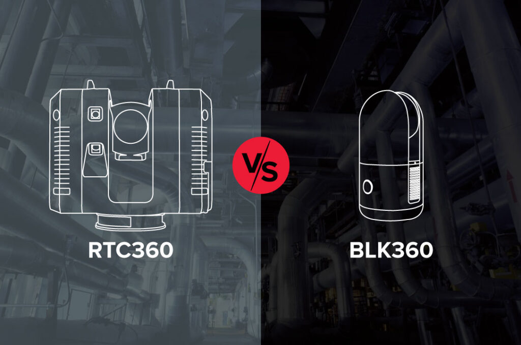
Leica RTC360 vs. Next-Generation BLK360:
5 Considerations to Help You Choose the Best Laser Scanner for Your Next Industrial Plant Project
Which laser scanner is better? The answer might surprise you.
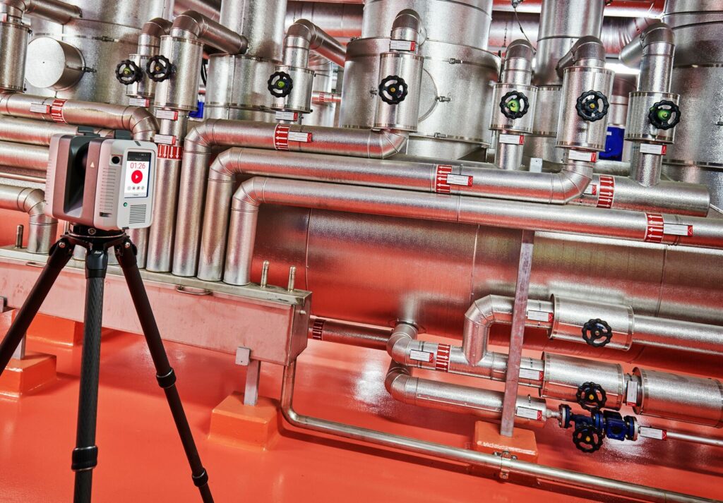
Using Reality Capture to Document the As-Built Conditions of Your Industrial Plant? Don’t Overlook Survey Control
Without a plant coordinate system to hold and align your scanning work, you risk inaccuracies, inconsistencies, and disconnected data sets that can prevent you from achieving a true digital twin.
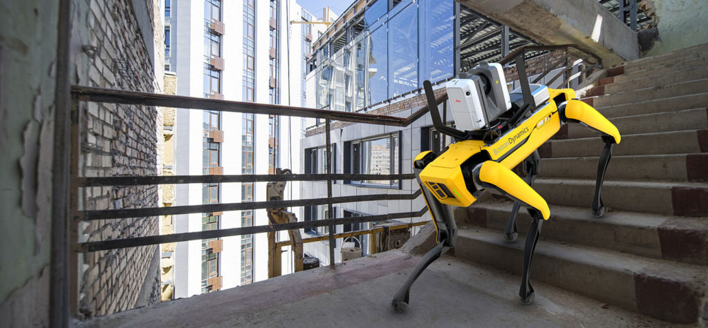
Plant Accessibility Issues Keeping You from Laser Scanning? Try a Scanning Robot Dog
A new integration of Leica Geosystems’ RTC360 technology onto Boston Dynamics agile mobile robot Spot opens new possibilities for digital remote management.

Creating your digital Twin
Achieve near-zero rework by documenting everything in sight to avoid errors and additional site visits.
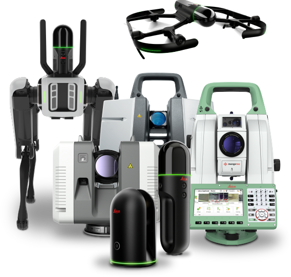
Laser Scanning Solutions
Whether your data capture priorities are distance, speed, accuracy, flexibility, ease of use, autonomous operation, or all of the above, Leica Geosystems provides industry-leading solutions that simplify your digital transformation.
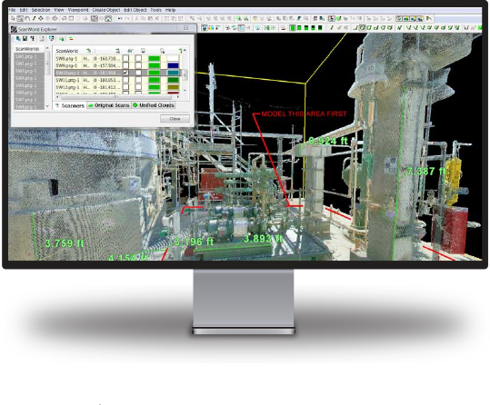
Software Solutions
The security, accessibility and usability of your laser scanning reality capture data is crucial to maximizing operational efficiency and obtaining the best return on your investment. Leica Geosystems software leads the industry for transforming vast amounts of digital data into intuitive yet powerful information assets.
Seamless Integration
Our solutions are compatible with the most popular third-party software, making it easy to integrate reality capture into your existing workflows.