The Most Intelligent Device To Date
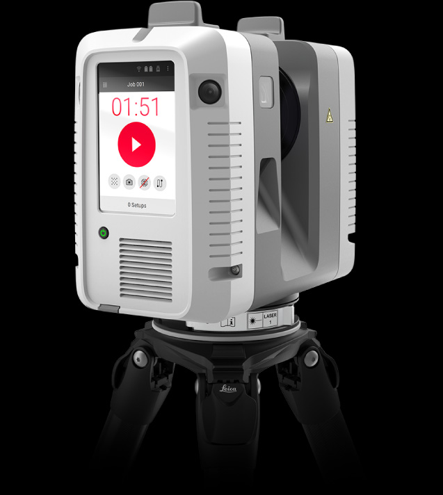
Our fastest scanner is also our smallest. But don’t let the size fool you, the RTC360 can do it all fast, accurate, and register everything for you. At a little over 10lbs, it’s also the most portable.
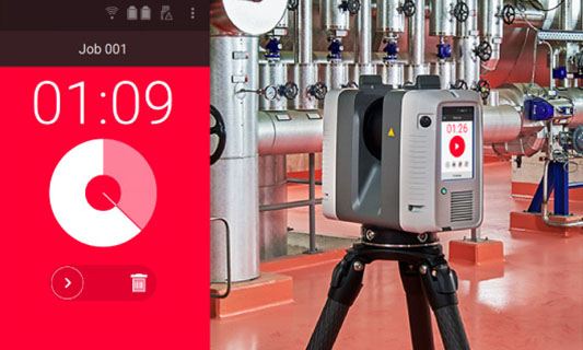
With an advanced HDR imaging system and the scanning speed of 2 million points per second, create colored 3D point clouds in under 2 minutes. Automated targetless field registration (based on VIS technology) speeds up the longest part of the job to save you time and resources.
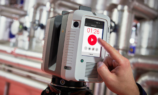
Intelligent Scanner
Scans with integrated HDR spherical imaging system and Visual Inertial System (VIS) for real time registration
Rugged Design
Be worry-free in extreme environmental conditions (hot, cold, rain, and dust)
Data Accuracy
Amazingly accurate 3D point clouds produce a true representation of reality
Blazing Speeds
Unheard-of aquisition times
Easy to Use
Intelligent feature that ensures optimal working conditions in the field
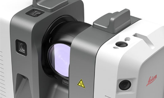
Advanced Cameras
Three cameras captures 432 MPx raw data for calibrated 360˚ x 300˚ spherical image

A Scanning Robot Dog
See how an integration of the RTC360 technology onto Boston Dynamics’ agile mobile robot Spot makes it possible for any plant to take advantage of the benefits of digital remote management.