A focus on quality and innovation drives decisions for this leading-edge laser scanning services firm.
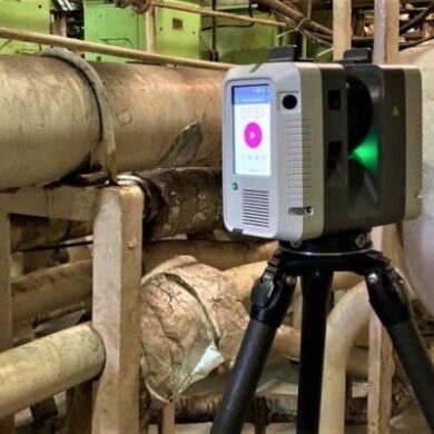
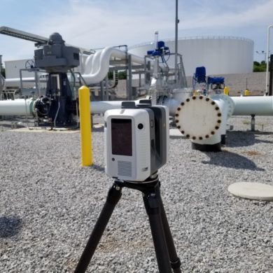
Ricardo Artiga of RZA Technologies explains why he and his team rely on a specific laser scanner to produce exceptional results for clients.
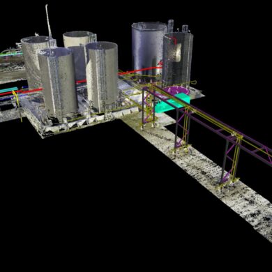
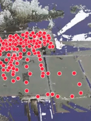
What do you need to know about establishing a plant coordinate system for your digital twin? Zachary McNeil of Proport Pipefitting offers some insights.
Travis Sachs, president of laser scanning service provider 3DS Technologies, discusses the transformative power of laser scanning in industrial settings in this Tech Insider interview.
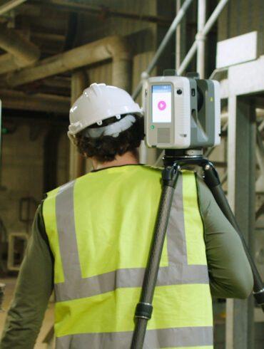
Rob Jickling of Element6 Solutions shares how reality capture can maximize efficiency, agility and safety in any plant environment.
A new on-demand webinar explores the end-to-end solution that will change the way you see laser scanning.
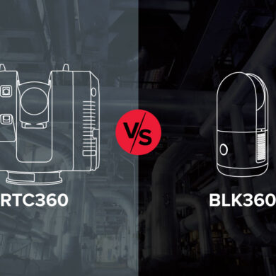
Which laser scanner is better? The answer might surprise you.
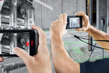
Cloud-based solutions empower you to access your plant remotely from any location so you can keep your business moving even when you can’t be there in person.
Zachary McNeil of Proport Pipefitting talks with Oil & Gas IQ about the advantages of laser scanning.
3D laser scanning is the most effective way to safely, quickly capture comprehensive and accurate measurements.
