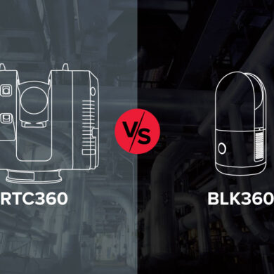
Travis Sachs, president of laser scanning service provider 3DS Technologies, discusses the transformative power of laser scanning in industrial settings in this Tech Insider interview.
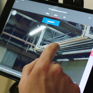
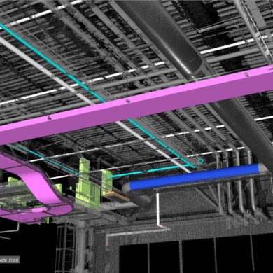
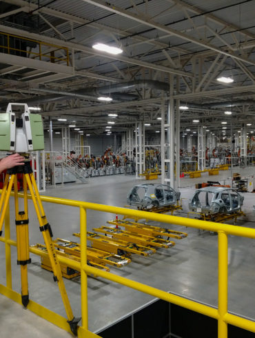
Accurate reality capture helps Darling Geomatics streamline as-built and construction verification for a 1.5-million-sq-ft Mercedes-Benz facility expansion.